


Allows us to be at least twice as fast
I work primarily in stormwater and floodplain management at J3 Engineering Consultants, an engineering firm that provides a full range of civil engineering, master planning, and water resource services throughout the Rocky Mountain region.
I would definitely recommend GeoHECRAS to other engineers that do HEC‑RAS studies. It makes it a lot easier to show your model and results to other engineers and your client. The software is just incredibly user-friendly, easy to understand, and easy to use. I was able to jump in and start using it to create real models and work on real projects immediately. That has been the most surprising part for me.
Previously with HEC‑RAS, we would have issues interfacing with all of the various files needed for a floodplain project. We use AutoCAD, ESRI ArcGIS, and HEC‑RAS, and converting data between the three different applications is very time consuming and prone to errors. Getting the data converted into the correct format and keeping track of the various data is a huge logistics problem. GeoHECRAS largely eliminates these issues, since it will interface with AutoCAD, ArcGIS, and HEC‑RAS files and manages all of the data conversion and management of files.
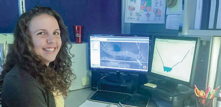
GeoHECRAS allows us to bring in previous HEC‑RAS models and then interactively georeference them to the project site. We can then quickly edit them to include changes due to land development and infrastructure projects. The software is really intuitive and extremely user-friendly, and allows us to quickly make changes to cross sections and river alignments to account for these changes. What you see in GeoHECRAS is exactly what the model is representing since it shown directly on top of your base data, such as Google Maps and your AutoCAD drawing. There is no loss of information, you do not have to worry about tracking changes throughout the entire model—it is all handled right there for you.
We commonly have to go through several iterations of grading to finalize a site development. GeoHECRAS allows us to instantly recut HEC‑RAS cross sections with the proposed changes and see what impact these changes have on the flood elevations. Updating cross sections to incorporate these changes is really easy. Using GeoHECRAS, I can create a HEC‑RAS model, along with changes and updates in half of the time from what I was doing before. It allows us to be at least twice as fast in doing our HEC‑RAS modeling work.
I have found that CivilGEO’s technical support has been definitely helpful during the times that I have needed it. Any problems or difficulties I have had with my models have been able to be worked out pretty quickly on the phone with their staff. They will jump on to my computer remotely using Team Viewer and assist me with my models.
Dana Morris, CFM
Staff Engineer II
J3 Engineering Consultants, Inc.
Centennial, CO
Staff Engineer II
J3 Engineering Consultants, Inc.
Centennial, CO

 Back
Back
CivilGEO reviews
4.8/5.0 Rating, Over 230 Reviews

GeoHECRAS is recognized as the top Civil Engineering Design Software with an average of 4.8 out of 5.0 rating from over 230 real user reviews on G2.


Reach us on WhatsApp at


