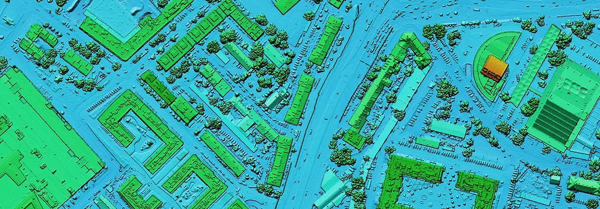
The 3D Elevation Data Program is a Game-Changer
For decades, engineers have relied on a patchwork of data consisting of field surveys, orthographic photos, and other sources to piece together baseline topographic data
For decades, engineers have relied on a patchwork of data consisting of field surveys, orthographic photos, and other sources to piece together baseline topographic data

Out with human surveying teams slogging across a project site to map a floodplain and in with slick UAV (unmanned aerial vehicle or drone) performing

Dec 28, 2016 Release For this release of GeoHECRAS, after getting lots of feedback from our users, we have introduced several major new features that

To help speed up your HEC-RAS engineering work, we are pleased to announce after 3 months of hard work a major update to GeoHECRAS. We

当您访问任何网站时,网站可能会在您的浏览器上存储或检索信息,主要是以 Cookie 的形式。在此控制您的个人 Cookie 服务。