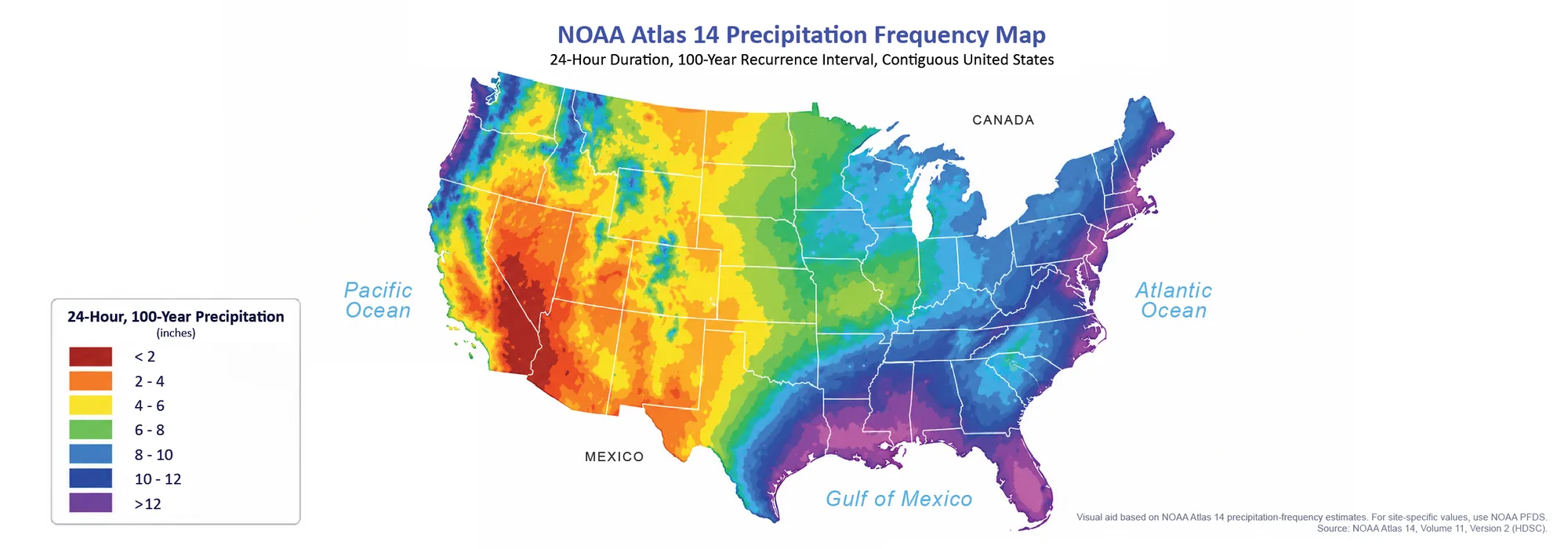
Rainfall Data in Transition: NOAA Atlas 14 to Atlas 15
Summary: NOAA Atlas 14 remains NOAA’s current precipitation-frequency standard and authoritative source for the areas it covers, while Atlas 15 will gradually replace it with


Summary: NOAA Atlas 14 remains NOAA’s current precipitation-frequency standard and authoritative source for the areas it covers, while Atlas 15 will gradually replace it with

Nov 5, 2015 Release For this release of GeoHECRAS, after getting lots of feedback from our users, we have introduced several major new features that
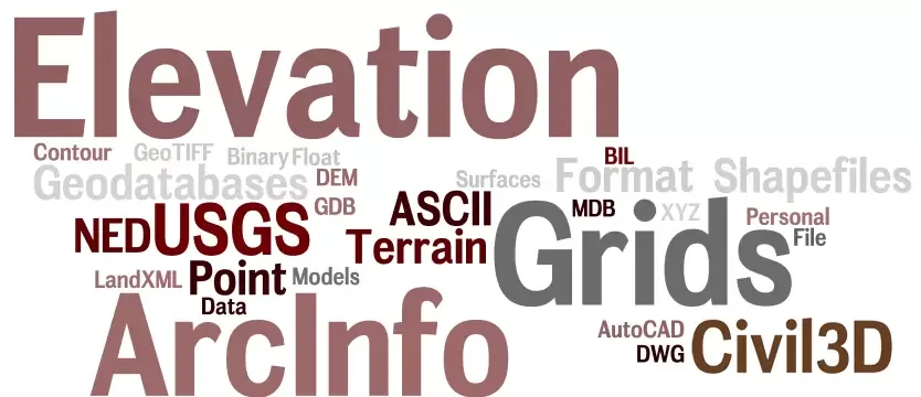
GeoHECRAS can now import AutoCAD Civil 3D Surfaces, ArcInfo Elevation Grid Files, and more… As requested by our users, the following elevation data file formats
Wir verwenden Cookies, um Ihnen das beste Online-Erlebnis zu bieten. Indem Sie zustimmen, akzeptieren Sie die Verwendung von Cookies in Übereinstimmung mit unserer Cookie-Richtlinie.

Wenn Sie eine Website besuchen, kann diese Informationen über Ihren Browser speichern oder abrufen, meist in Form von Cookies. Kontrollieren Sie hier Ihre persönlichen Cookie-Dienste.
 English English English
 French
 German
 Italian
 Spanish
 Chinese
 Polish
 Indonesian English English English French
German
Italian
Spanish
Chinese
Polish
Indonesian