

GeoHECRAS can now import AutoCAD Civil 3D Surfaces, ArcInfo Elevation Grid Files, and more…
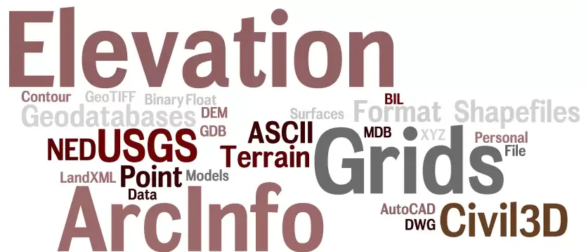
GeoHECRAS can now import AutoCAD Civil 3D Surfaces, ArcInfo Elevation Grid Files, and more…
As requested by our users, the following elevation data file formats can be used for cutting HEC-RAS cross sections and generating detailed floodplain maps:
- ArcInfo ASCII Elevation Grids
- ArcInfo Binary Elevation Grids
- ArcInfo Contour Shapefiles
- ArcInfo Elevation Point Shapefiles
- ArcInfo GDB File Geodatabases
- ArcInfo MDB Personal Geodatabases
- AutoCAD Civil 3D Surfaces
- AutoCAD Contours
- GeoTIFF Elevation Grids
- LandXML Terrain Models
- USGS DEM Elevation Grids
- USGS NED Elevation Grids – BIL Format
- USGS NED Elevation Grids – Float Format
- XYZ ASCII Point Terrain Data
Your feedback is very important to us and helps us to continue to improve our products. Feel free to write to us with any suggestions.
Plus d'informations sur notre Base de connaissances ou participez à la conversation sur GeoHECRAS. Suivez-nous sur Facebook, Twitter, LinkedIn et Google+ en utilisant #GeoHECRAS, #ReadyToEngineer.
- Tags : Floodplain Modeling, GeoHECRAS, HEC-RAS

 EN
EN  FR
FR  DE
DE  IT
IT  ES
ES  CN
CN  PL
PL  ID
ID