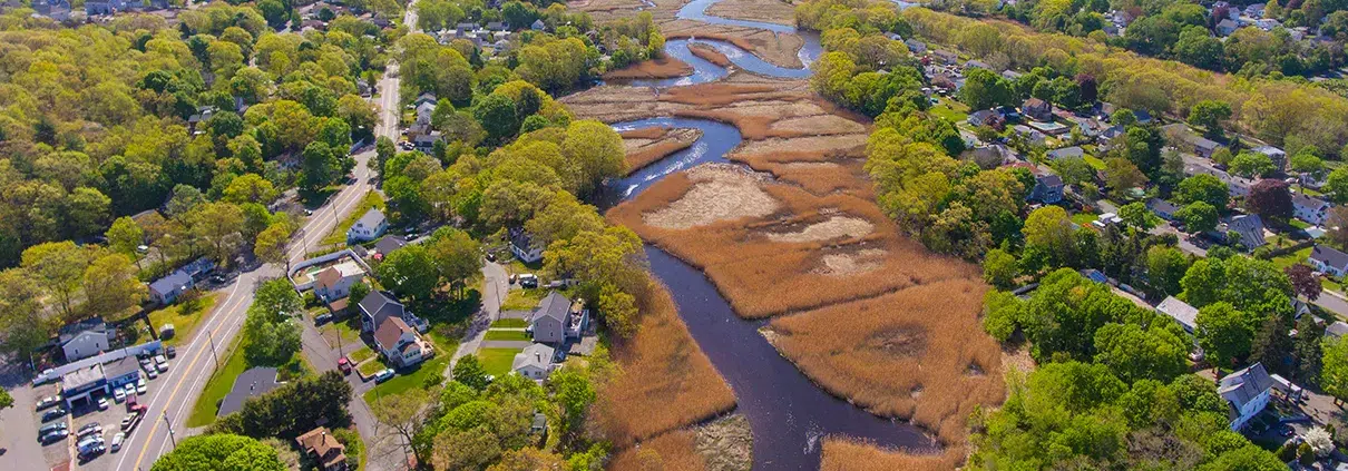
Locating Wetlands for Better Model Development and Planning
As hydrologic engineers, we would be remiss not to use all information available to us in the course of understanding water flow within a drainage


As hydrologic engineers, we would be remiss not to use all information available to us in the course of understanding water flow within a drainage
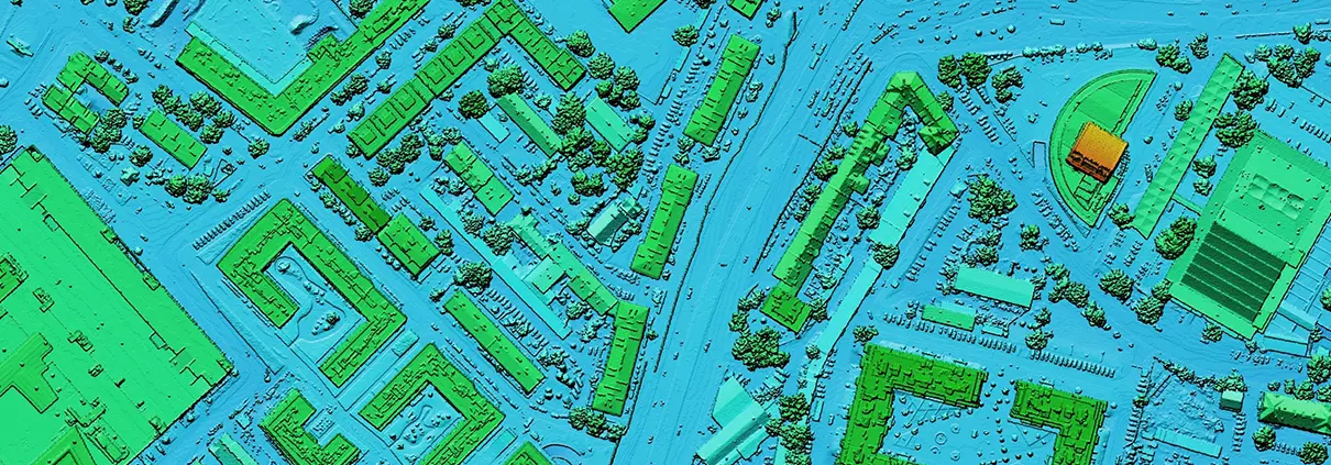
For decades, engineers have relied on a patchwork of data consisting of field surveys, orthographic photos, and other sources to piece together baseline topographic data

The first maps on record that took advantage of an aerial perspective were sketched from the deck of a hot air balloon under the auspices

Out with human surveying teams slogging across a project site to map a floodplain and in with slick UAV (unmanned aerial vehicle or drone) performing
Nous utilisons des cookies pour vous offrir la meilleure expérience en ligne. En acceptant, vous acceptez l'utilisation de cookies conformément à notre politique en matière de cookies.

Lorsque vous visitez un site web, celui-ci peut stocker ou récupérer des informations sur votre navigateur, le plus souvent sous la forme de cookies. Contrôlez vos services de cookies personnels ici.
 English English English
 French
 German
 Italian
 Spanish
 Chinese
 Polish
 Indonesian English English English French
German
Italian
Spanish
Chinese
Polish
Indonesian