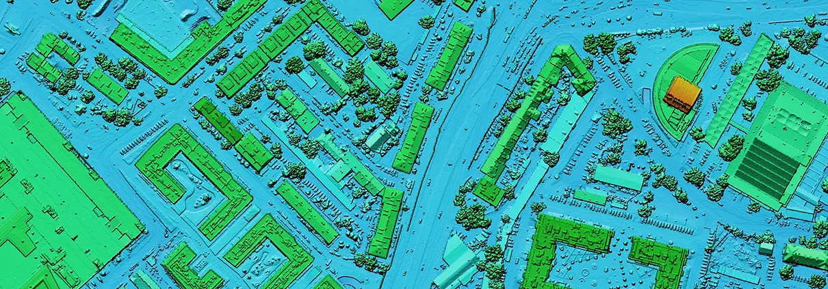
The 3D Elevation Data Program is a Game-Changer
For decades, engineers have relied on a patchwork of data consisting of field surveys, orthographic photos, and other sources to piece together baseline topographic data
For decades, engineers have relied on a patchwork of data consisting of field surveys, orthographic photos, and other sources to piece together baseline topographic data

Dec 28, 2017 Release We are pleased to announce a major new release that contains numerous new features, enhancements, and functional fixes for GeoHECRAS. Many of

Before refrigeration, an industry grew up around the task of delivering blocks of ice harvested from local ponds or lakes to those who could afford

Woe to those who ignore the difference between the International Foot and the US Survey Foot. In some cases, confusing the units will have little

To help speed up your HEC-RAS engineering work, we are pleased to announce after 3 months of hard work a major update to GeoHECRAS. We

当您访问任何网站时,网站可能会在您的浏览器上存储或检索信息,主要是以 Cookie 的形式。在此控制您的个人 Cookie 服务。