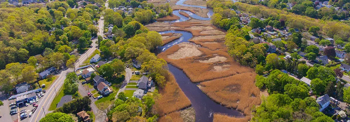
Locating Wetlands for Better Model Development and Planning
As hydrologic engineers, we would be remiss not to use all information available to us in the course of understanding water flow within a drainage


As hydrologic engineers, we would be remiss not to use all information available to us in the course of understanding water flow within a drainage
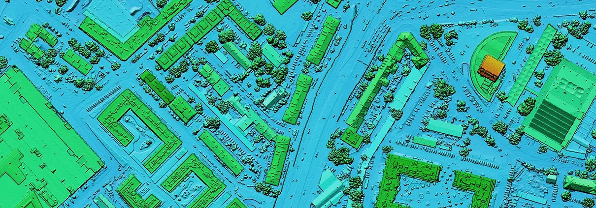
For decades, engineers have relied on a patchwork of data consisting of field surveys, orthographic photos, and other sources to piece together baseline topographic data
Dec 28, 2017 Release We are pleased to announce a major new release that contains numerous new features, enhancements, and functional fixes for GeoHECRAS. Many of

Before refrigeration, an industry grew up around the task of delivering blocks of ice harvested from local ponds or lakes to those who could afford
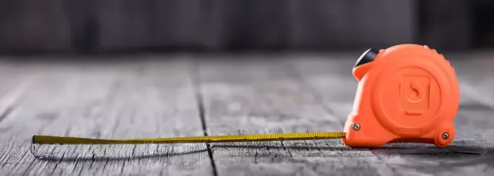
Woe to those who ignore the difference between the International Foot and the US Survey Foot. In some cases, confusing the units will have little
To help speed up your HEC-RAS engineering work, we are pleased to announce after 3 months of hard work a major update to GeoHECRAS. We
Utilizziamo i cookie per offrirvi la migliore esperienza online. Accettando, accettate l'uso dei cookie in conformità con la nostra politica sui cookie.

Quando visitate un sito web, questo può memorizzare o recuperare informazioni sul vostro browser, per lo più sotto forma di cookie. Controllate qui i vostri servizi di cookie personali.
 English English English
 French
 German
 Italian
 Spanish
 Chinese
 Polish
 Indonesian English English English French
German
Italian
Spanish
Chinese
Polish
Indonesian