BOLTON & MENK
GeoHECRAS makes the whole process of updating the flood maps super easy
GEOHECRAS CUSTOMER SUCCESS STORY

Most floodplain studies are computed using a HEC-RAS steady state model. The steady state model is an accepted standard, but under certain circumstances can produce results that are far from realistic.
Bolton & Menk, a civil, environmental and transportation engineering firm based in Mankato, Minnesota, took on a project that required the firm to perform a floodplain analysis in a heavily developed area with a complex system of stream channels and wetlands.
The Challenge Presented by a Wetland “Sink”
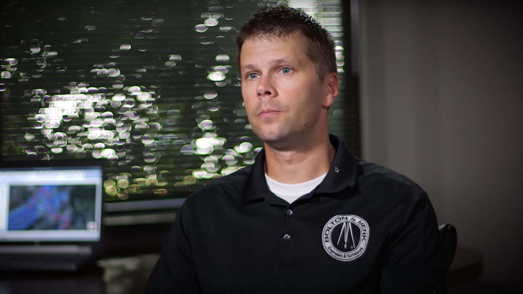
Jordan Thole, a water resource design engineer at Bolton & Menk, had primary responsibility for creating a flood map for the lower regions of Sand Creek in Scott County, part of the Sand Creek watershed in the Minnesota River Basin.
The challenge presented by this project involved a point near the City of Jordan where a public highway could be overtopped and flood water diverted into a very large wetland. After the flood water entered the wetland, it eventually reconnected with Sand Creek.
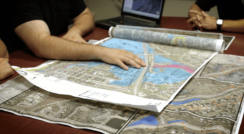
When the HEC-RAS model for this segment of Sand Creek was run in a steady state, the wetland filled with water, a situation that would never realistically occur since it would require that peak flow be sustained for days. Thole concluded that if the flooded area was to be mapped accurately, an unsteady flow analysis was needed in addition to a hydrograph showing change in flow over time.
Software Development “On Demand”
Thole approached CivilGEO to see if GeoHECRAS could perform the unsteady flow floodplain encroachment analysis that was necessary. At the time, the capability was absent from GeoHECRAS. But the engineering team at CivilGEO determined that the ability to model unsteady flow floodplain encroachment would add value to the software and could be implemented with concerted effort from the team.
About Bolton & Menk
In 1949, two earnest Midwesterners, John Bolton and Martin Menk, set the foundation for our firm’s mission to serve communities. Bolton and Menk knew people had dreams for a bright future, but a common challenge was old, crumbling infrastructure. Bolton and Menk decided to help people and communities do better by listening to their needs, providing the best solutions, and treating folks with respect. As a major civil engineering, planning and consulting firm, their legacy lives on.
After four days of coding work, the application was working and Thole was able to perform the floodplain encroachment using a fully hydrodynamic flow analysis.
When the HEC-RAS model was run with an unsteady flow simulation, the wetland acted like a sponge, absorbing the flood water and attenuating the flow. The volume of water moving through the area was reduced significantly. Lower BFEs (base flow elevations) were clearly good news to the large residential areas located in the watershed.

“We are probably spending half the time building these models as we did before.”
Updating Flood Maps with GeoHECRAS
The floodway had recently been updated and mapped under a FEMA (Federal Emergency Management Agency) mandate. However, the study had been performed using a steady flow analysis. Peak elevations under that analysis were much higher. The City of Jordan requested that all flood maps be updated using an unsteady flow analysis.
Thole reported that the process of updating flood maps was almost effortless with GeoHECRAS’s intuitive user interface. Older maps typically show minimal stream geometry, but GeoHECRAS permits the user to easily add cross-sections.

Also, using the Army Corps HEC-RAS program would have required a laborious process of building multiple models and running comparisons of surface water elevations through Excel or a similar program. Thole said, “GeoHECRAS lets you update maps on the fly. It’s so much easier.”
Thole was also grateful for the technical support he received through CivilGEO. “I wish every piece of software we owned had the technical support that CivilGEO provides.”
Products
Company
Customers
Support
Training
Contact Us
 1-800-301-02-955
 608-729-5100
(US and Canada)
 [email protected]
 +1 608-729-5100
–
–
–Tel:
CivilGEO India
Graphix Tower, A-13 A
3rd Floor, Sector 62
Noida, Uttar Pradesh 201309
IndiaTel:
1-800-301-02-955 or
+91 022-3831-8601
Copyright
Copyright © CivilGEO, Inc. All rights reserved. The CivilGEO logo, “GeoSTORM”, “GeoHECHMS”, “GeoHECRAS”, and “Ready To Engineer” are registered trademarks of CivilGEO,Inc.
All other brands, company names, product names or trademarks belong to their respective holders.

 Advanced engineering software that is “Ready to Engineer”. Get started today!


