


GeoHECRAS eliminates wasted time…
I have been a civil engineer with Pioneer Technical Services for three years. Pioneer is a full-service engineering and environmental services firm located in Butte, MT with branch offices located throughout the northwest United States.
Iterating an analysis using the Army Corps of Engineers HEC‑RAS model can be a real time waster. You have to go back into AutoCAD, extract cross section geometry data, and then get that data back into HEC‑RAS. That iterative process of changing things in both CAD and HEC‑RAS, and getting everything to line-up, takes a lot of time and patience.
We have found that GeoHECRAS eliminates all of this wasted time. You work right on your AutoCAD drawing and can easily define cross sections and bridge structures, run HEC‑RAS, and right away see the results. For example, you can easily move cross sections or add additional cross sections in order to get a better definition of the flooding. GeoHECRAS will update all of the corresponding data like bank stations and flow lengths—handling all of the details. You can see the model changes immediately on the screen. Then, just run the HEC‑RAS analysis inside GeoHECRAS and immediately see the updated flood results. There is no need to go to a different program—everything is inside GeoHECRAS.
With GeoHECRAS we estimate we have cut our engineering time in half in getting HEC‑RAS models completed over using the Army Corps of Engineers HEC‑RAS software. I would definitely recommend using GeoHECRAS for performing HEC‑RAS flood studies.
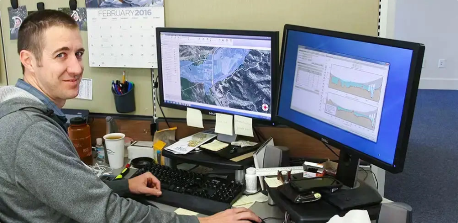
Jonathan Jupka, P.E., CFM
Project Engineer
Pioneer Technical Services, Inc.
Bozeman, MT
Project Engineer
Pioneer Technical Services, Inc.
Bozeman, MT

 Back
Back
CivilGEO reviews
4.8/5.0 Rating, Over 230 Reviews

GeoHECRAS is recognized as the top Civil Engineering Design Software with an average of 4.8 out of 5.0 rating from over 230 real user reviews on G2.


Reach us on WhatsApp at


